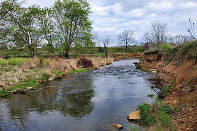
 Site Description: The North Fork of the Catoctin Creek feeds into Catoctin Creek, which is a tributary of the Potomac River. This site is located approximately one mile upstream of the Route 9 and Route 287 intersection between Purcellville and Wheatland. Loudoun Wildlife selected this site (and another site located approximately two thirds of a mile downstream of the intersection) to monitor changes in water quality before, during, and after a roundabout project that is scheduled for construction at this intersection.
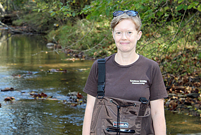 Certified Lead Monitor: Amy Ulland started conducting benthic macroinvertebrate monitoring at this site in the fall of 2021.
Stream Monitoring Data
Explore comprehensive results for this location via the Clean Water Hub site page.
- Benthic Macroinvertebrate Data: Click on the VA SOS/CMC ROCKY BOTTOM link below the map, then scroll down to see the data.
- Salt Watch Data: Click on the SALT WATCH link below the map, then scroll down to see chloride levels.