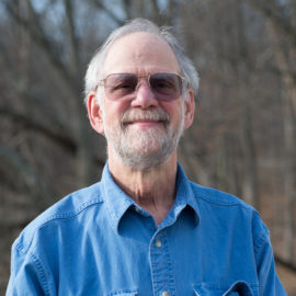
After getting his geology degrees (BS from Syracuse University and MA and PhD from Harvard), Peter spent 40 years working for the U.S. Geological Survey, retiring in 2015. His years with the USGS can basically be divided into two parts. During the first 20 years he was an active scientist conducting geologic mapping in the central and northern Appalachians to understand how a particular area developed over hundreds of millions of years (tectonic history). He was the head of a project that geologically mapped all of Loudoun County (one can see the map on display at Banshee Reeks). In the second half of his career, he managed two national programs for the USGS: the National Cooperative Geologic Mapping Program and the Landslide Hazards Program.
50 years ago, Peter mapped the geology of an area in Maine centered around Pierce Pond. He has been a supporter of the Pierce Pond Watershed Trust for the last 30 years, which is trying to preserve this area through outright purchase of land and convincing landowners and timber companies to put large tracts of land under permanent easements to prevent development and provide more access for the public to enjoy the natural beauty.
Peter lives outside of Middleburg and was introduced to Loudoun Wildlife through bird walks led by various board members and other wonderful volunteers.
Contact Peter at plyttle@loudounwildlife.org.
Meet More Team Members
Holly Means
Board Member
Bruce Hill
Board Member
Jane Kirchner
Board Member
Joe Coleman
Board Member and Birding Activities Coordinator


